Hiking near Geneva is almost unfairly good: this is, geographically speaking, an absurd place to set off from. To the south you have the Salève rising 900 m straight out of the suburbs, with a cable car if you can’t be bothered to walk up. To the north, the Jura ridge tops out at 1,720 m and gives you a panorama running from Mont Blanc to the Bernese Alps. Forty minutes east puts you at the foot of the Voirons or the Bornes. An hour gets you Mont Blanc itself. And along the lake you’ve got essentially endless flat strolls past medieval villages and the Versoix beech woods.
What this guide does that nothing else on the first page of Google does properly: it tags every hike with how to get there without a car (and it slots into our Geneva outdoor activities pillar alongside the Lake Geneva geography guide), gives you SwitzerlandMobility route numbers, and includes the lesser-known summits (Pointe d’Andey, Colomby de Gex) that locals love and most of the English-language guides have never heard of.
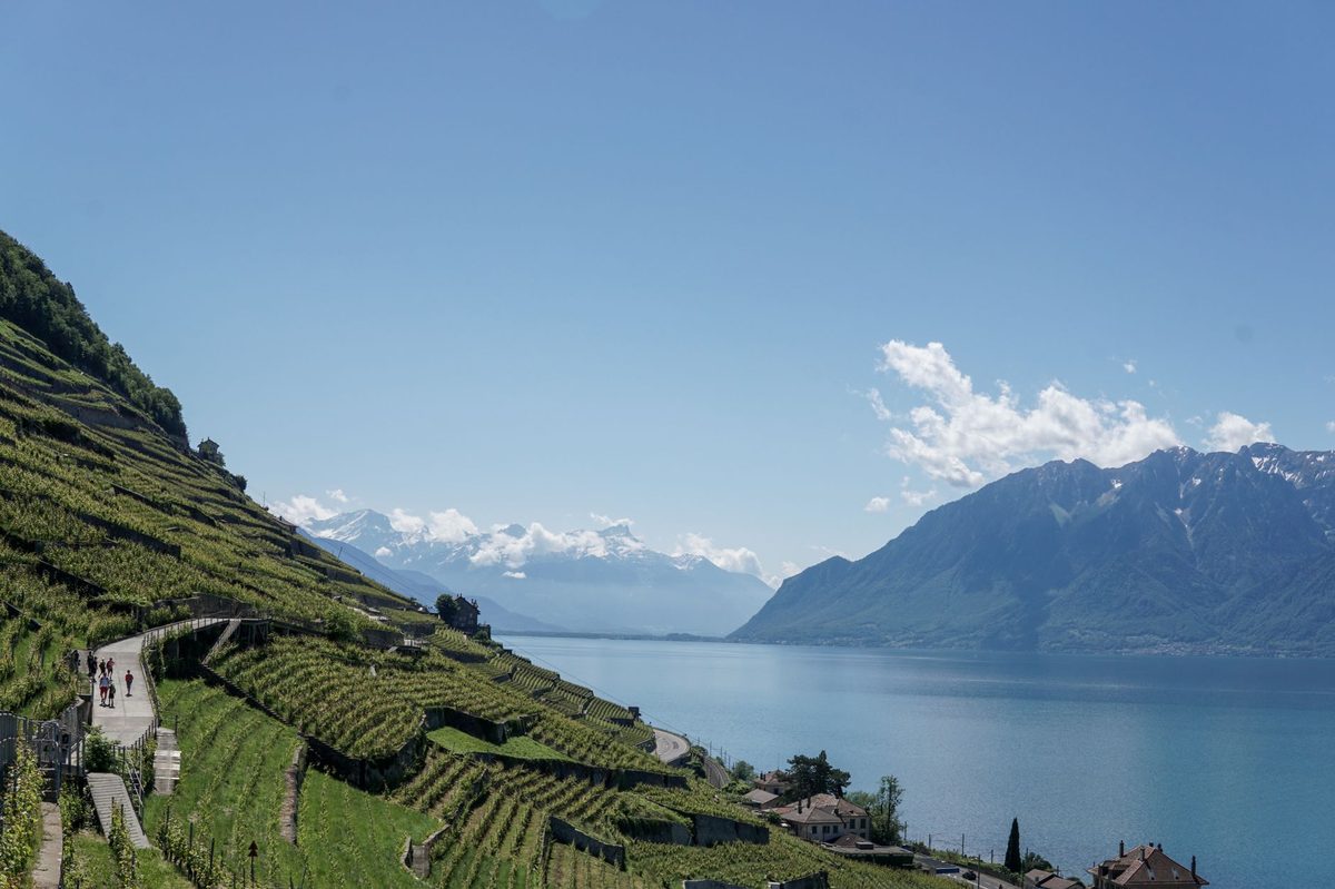
Hiking near Geneva at a glance
- Three terrain zones in one day’s reach. The Jura (north, gentler limestone ridges, 1,200-1,720 m), Mont Salève and the Voirons (south, French foothills), and the Mont Blanc-area Alps (east, alpine and committing). Lakeside walks add a flat fourth option.
- Hiking season is May to October for the summits. Lakeside and lower trails are year-round; snowshoeing replaces hiking above 1,000 m December to March.
- Maps and apps: SwitzerlandMobility (SchweizMobil) for Swiss-side trails — free, paid Plus tier for offline maps. IGN TOP25 and the Visorando app for French-side trails.
- Trail markers: Yellow diamonds (Suisse Rando) for easy paths in Switzerland, white-red-white blazes for mountain trails graded T2 and above.
- Border crossings: Schengen. ID rarely checked but bring it. French side often needs euros for parking; Swiss side needs francs.
How to use this guide
I’ve sorted hikes by difficulty rather than location, because that’s what people actually pick on. Each entry has distance, elevation gain, how long it’ll take you at an average pace, and crucially how to reach the trailhead from Cornavin without a car — because if you’re a Geneva visitor that’s the most-asked question and the one every other guide skips.
Geneva-area trail difficulty more or less follows the Swiss Alpine Club (SAC) scale: T1 is flat and paved, T2 is a mountain trail with proper boots, T3 starts to need balance and basic mountaineering nous, T4 and above need real experience. I’ve stuck to T1-T3 here, which covers 95% of what a healthy visitor will want to do.
Easy hikes and lakeside walks (T1-T2)
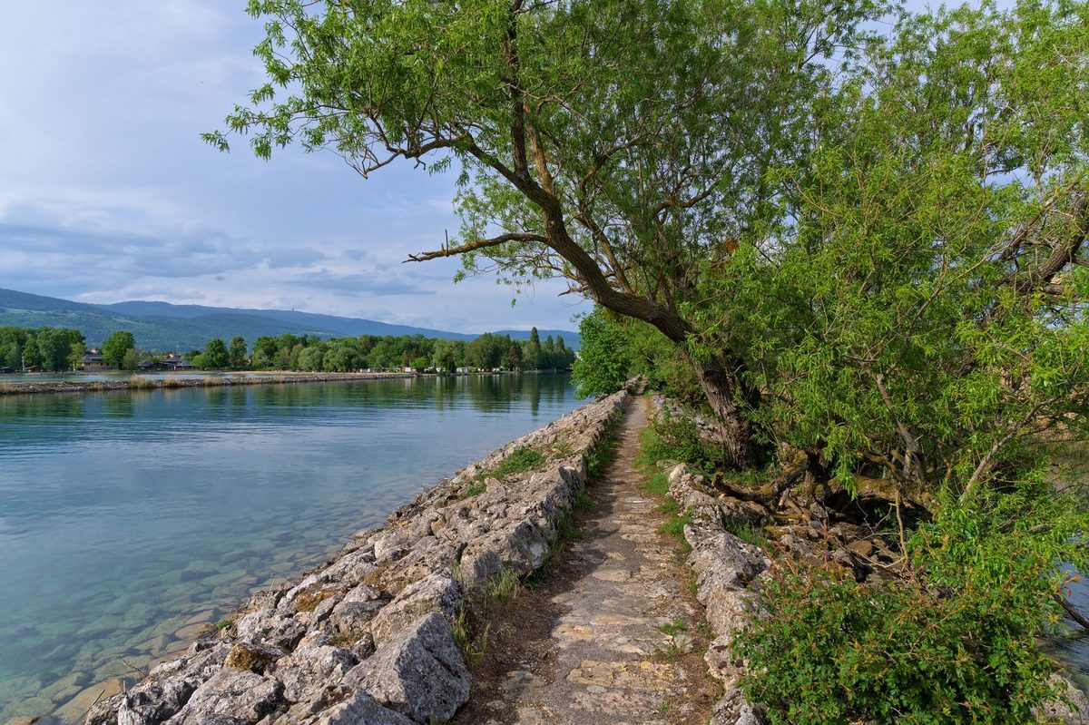
Versoix to Coppet lake foreshore
8 km, flat, 2 hours. Start at Versoix station (Léman Express L1, 12 minutes from Cornavin), walk north along the lake all the way to Coppet, finish with a wander through the lakefront château grounds, train back. Cuts past the mansions of the Côte, the Versoix river mouth, and the famous Côte chocolates if you time it right. Year-round, and quietly lovely in winter when the reeds are frost-rimmed.
Vesenaz to Hermance
9 km, flat, 2¼ hours. Bus E from Rive takes you out to Vesenaz; walk along the left bank past Anières and the smaller swimming beaches to medieval Hermance right on the French border. Bus E back, or carry on into France for lunch.
Versoix river and Bois de Machefer
5.5 km, 50 m gain, 1½ hours. The Versoix river drops out of the Jura in a series of small waterfalls through a beech wood. Start at Versoix-Bourg, follow the river upstream, finish back via a forest loop. Best in autumn for the leaves. Léman Express to Versoix.
Moulin-de-Vert nature reserve
6.5 km, 90 m gain, 1¾ hours. A Rhône oxbow that was rewilded into a reserve — beavers, kingfishers, and a long horseshoe loop with no other walkers in sight on weekdays. Bus 42 from city centre to Cartigny, then a short walk to the trailhead.
Pierres du Niton and Geneva’s quay walks
3-6 km, flat, 1-2 hours. Not a hike per se but Geneva’s lakefront promenade strings together the Jet d’Eau, the Pierres du Niton glacial erratics, the Flower Clock, and the rose garden at Parc La Grange — perfect for arrival day when you need to stretch jet-lagged legs.
Moderate half-day hikes (T2)
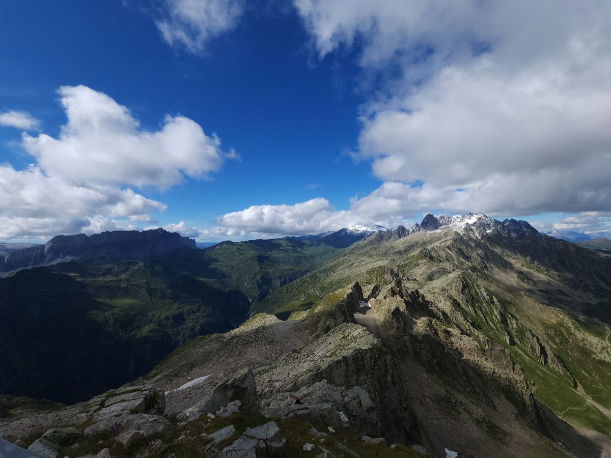
Mont Salève via Pas de l’Échelle
9 km, 700 m gain, 3-4 hours up and down. Geneva’s signature hike. Take TPG bus 8 to Veyrier-Douane, cross the French border on foot (Schengen, no checks), and you’re at the trailhead. The Pas de l’Échelle is a steep notch with stone steps cut into the cliff, then a steady climb through forest to the ridge. Coming down: walk via the téléphérique or take the cable car for a few euros.
Petit Salève via Monnetier
6.6 km, 480 m, 2½ hours. The Salève’s smaller, quieter sister. From Monnetier-Mornex it’s a gentler climb with similar views but a fraction of the Sunday crowds. TPG bus 8 to Veyrier-Douane plus a walk gets you near the start.
Signal des Voirons and Pointe de Brantaz
4.6 km, 230 m, 1¾ hours. The Voirons are the green ridge you see east of the lake from anywhere on the Quai du Mont-Blanc. Drive or use carshare to the Monastère de Bethléem — there’s a short, lovely loop through beech forest with summit views back toward Geneva and across to the Salève. Year-round, and at its best in winter when the inversion layer leaves a sea of clouds beneath you.
La Dôle from St-Cergue
15.9 km, 700 m gain, 4-5 hours. The Vaudois Jura’s most popular summit, topped by a giant white radar dome. Take the train to Nyon, the cute NStCM narrow-gauge railway up to St-Cergue, and SwitzerlandMobility national route 5 takes you to the summit and back. Full Mont Blanc panorama on a clear day.
Colomby de Gex
11 km, 750 m gain, 4 hours. The Jura summit that locals send you to when they want La Dôle’s views without the crowd. Trailhead at Col de la Faucille (drive 45 minutes from Geneva), climb through pasture and karst limestone to a wide ridge and a 1,688 m summit cross. Almost no English-language hiking guide includes this; everyone is too busy sending you up Crêt de la Neige.
Cascade d’Angon (Lake Annecy)
4.2 km, 350 m, 2 hours. Drive an hour to Talloires on Lake Annecy and you can walk behind a 60 m waterfall. Pair with lunch on the lake and a swim. May-October.
Lavaux vineyard trail (Lutry to St-Saphorin)
11 km, 300 m, 3½ hours. Direct train Geneva-Lutry in 45 minutes, then you walk through UNESCO-listed terraced vineyards above Lake Geneva with the Alps reflected in the lake below. Stop in vineyard taverns (caveaux) along the way for Chasselas wines. Train back from Vevey. Honestly this might be the single best half-day from Geneva.
Challenging summit hikes (T2-T3)
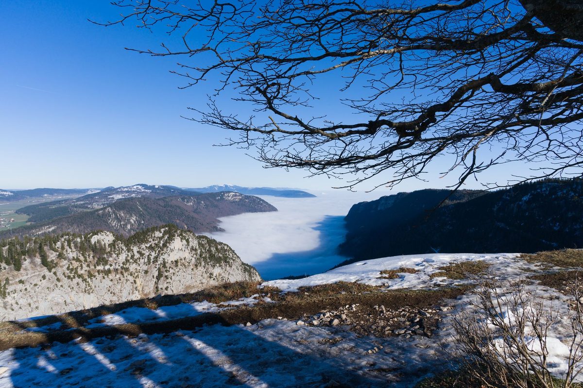
Crêt de la Neige (1,720 m)
13-14 km, 1,290 m gain, 5-6 hours. The highest summit in the Jura range. Take TPG bus Y from Geneva to Thoiry (about 40 minutes), then a steady forest climb opens into high pastures and a rocky ridge walk. Mont Blanc fills the southeast horizon. Pair it with Reculet for a “two-summit day” if you’ve got the legs.
Reculet (1,718 m)
13.1 km, 1,290 m gain, 5 hours. Crêt de la Neige’s twin, topped with a large cross. Same bus Y to Thoiry. Slightly easier ridge approach.
Pointe d’Andey (1,877 m)
9 km, 850 m gain, 4 hours. The single most underrated summit near Geneva. Drive 50 minutes to the Solaison plateau above Mont-Saxonnex, then a steep climb to a pointed limestone peak with a 360° panorama of the Aravis range, the Mole, and Mont Blanc. You’ll see chamois on the upper slopes. I have never met another walker on this mountain on a weekday.
Le Môle (1,863 m)
11 km, 1,100 m gain, 5 hours. The pyramid you see south of Bonneville is Le Môle, and it’s the classic Faucigny summit. Drive to Bovère above Saint-Jeoire, then climb. Best on a clear day for the Mont Blanc view.
Le Brévent above Chamonix
13 km, 1,500 m gain — or use the cable car. The face-to-face mountain with Mont Blanc. Drive to Chamonix in just over an hour, then either hike up from the village or take the téléphérique to 2,525 m and walk the ridge. The proximity to Mont Blanc is overwhelming. Better in July-September.
Spotlight: Mont Salève — every way up Geneva’s backyard mountain
The Salève deserves its own section because it’s the mountain Genevans treat as their daily-use peak. There are five distinct routes up, each with its own character:
- Pas de l’Échelle — the classic, stone steps and forest, busy on Sundays.
- Orjobet — a cable-protected gully through caves, more committing, vertigo warning.
- Petit Salève via Monnetier — gentler, quieter, same ridge.
- Pas du Loup — the locals’ choice when they want solitude.
- Cable car — €18 return, in five minutes from Étrembières to 1,100 m. New cabins as of April 2026.
We have a full Mont Salève guide covering all of this in detail, including paragliding, via ferrata, and where to eat at the summit.
Spotlight: the Jura summits
The Jura is the long limestone ridge running northwest of Lake Geneva. It’s not the Alps — there are no glaciers, the rock is softer, the trails are gentler in gradient — but the views are remarkable precisely because you’re looking across the lake at the Alps. From La Dôle, Crêt de la Neige, or Colomby de Gex on a clear day you see Mont Blanc, the Aiguille du Midi, the Bernese Alps, and on the very clearest days even the Matterhorn. Crêt de la Neige and Reculet are the technical highest points. La Dôle is the easiest big-view summit. Colomby is the quiet alternative.
Hikes you can do without a car
Geneva visitors are often surprised at how much serious walking is reachable on a TPG bus pass or an SBB train ticket. The list:
- Versoix-Coppet: Léman Express (12 minutes).
- Vesenaz-Hermance: TPG bus E.
- Moulin-de-Vert: TPG bus 42 plus walk.
- Mont Salève all routes: TPG bus 8 to Veyrier-Douane (cable car or trail).
- Petit Salève: TPG bus 8 plus walk.
- Crêt de la Neige and Reculet: TPG bus Y to Thoiry.
- La Dôle: SBB train to Nyon, NStCM rail to St-Cergue.
- Lavaux vineyards: Direct train to Lutry.
- Cully and the Cully-Chexbres ridge walk: Direct train.
The Swiss Travel Pass covers all of this if you’re staying multiple days. For local transport detail see our Geneva transportation guide.
Cross-border practicalities
Most of the best hikes are technically in France — Salève, Voirons, the Bornes and Aravis ranges, the Jura west of the border. A few practical points:
- ID: Bring it. Schengen means free movement but border guards occasionally check, especially on the Pas de l’Échelle bus stop.
- Parking: French trailheads often have parking meters that only take coins or French bank cards. Carry a few euros.
- Mobile data: Your Swiss SIM may roam expensively across the border. EU roaming is fine on French SIMs. Download offline maps before you go.
- Emergencies: 112 works on both sides. In Switzerland 144 is medical, 117 police; in France 18 fire, 15 medical, 17 police.
- Trail markers: Different. Switzerland’s yellow-diamond Suisse Rando system is precise and consistent. France uses red-and-white GR markers and white local markers; less obsessively maintained.
Multi-day and hut-to-hut options from Geneva
The whole Jura Crest Trail — SwitzerlandMobility National Route 5 — starts a short train ride away in Nyon at La Givrine, runs the entire 300 km ridge to Dielsdorf near Zurich, and breaks neatly into 16 day stages with mountain inns at each end. You don’t have to do it all. The first three stages from St-Cergue over La Dôle, Marchairuz, and Mollendruz are entirely walkable as a long weekend from Geneva.
The GR Balcon du Léman traces the south side of Lake Geneva from Chamonix all the way to Yvoire — Mont Blanc views the whole way. Eight to twelve days. Refuges and gîtes bookable on the Fédération Française de la Randonnée Pédestre site.
The ViaJacobi pilgrim route (SwitzerlandMobility Route 4) crosses Switzerland on its way to Santiago de Compostela. Stage 20 runs Coppet to Geneva via the lakeshore — an easy 17 km day starting or ending in the city.
Family hikes
If you’re hiking with kids, three picks stand out: the Versoix-Coppet flat lake walk (turn it into a picnic at Coppet beach), the Pierres du Niton Geneva quay loop (zero elevation, ice cream every kilometre), and the Salève cable car up plus the 1-hour Treize Arbres viewpoint loop from the summit station. The Salève has a small adventure playground at the top now too.
For more family-focused trip planning see our Geneva for families guide.
Winter walking and snowshoeing
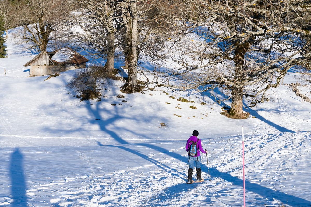
From December to March the summit trails are snow-covered and need snowshoes. The Salève plateau, Col de la Faucille area (Mont Rond, Petit Mont Rond), La Dôle from La Givrine, and the Voirons all have marked snowshoe routes. Lakeside walks stay walkable year-round and are particularly beautiful when fog has trapped the city but the Jura ridge is in sun. See our Geneva winter outdoor activities guide for the snow-season specifics.
Apps and maps
Most useful, in order:
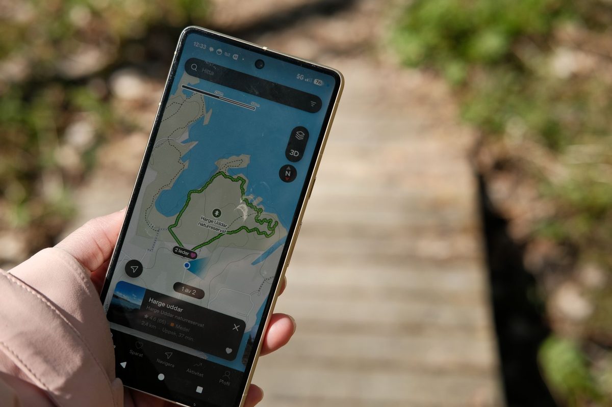
- SwitzerlandMobility (SchweizMobil) — the official Swiss hiking app. Free for online use, CHF 35/year for offline maps. Every Swiss trail with route numbers, distance, elevation, public transport links.
- Visorando (French-side) or IGN Rando — comparable for France.
- Komoot — international, decent route library, paid for offline.
- Organic Maps — free, open-source, OpenStreetMap-based, works offline. Excellent backup.
- Paper: Swiss Topo 1:25,000 sheets for Switzerland; IGN TOP25 for France. Sold at Cornavin’s WHSmith and at any decent French bookshop.
What to pack
For a half-day hike near Geneva: proper hiking shoes (the Salève rocks are slippery in wet), a 1L water bottle, layers (mountain weather changes), a packed lunch, basic first aid, sun cream, your ID for border crossings, and ideally a paper map or offline GPS app as backup.
For Crêt de la Neige and the Jura summits add: a wind shell (the ridge gets gusty), a warm layer even in July (it can be 15° cooler than the city), and a head torch (sunset comes fast in late autumn).
Where to refuel after the hike
Salève: the Auberge du Coin on the way down has the best chasselas and a tartiflette for two. Jura summits: La Givrine inn at the railway station for fondue. Lavaux: any of the caveaux open on weekends — the Chasselas is the local grape and pairs with everything. Voirons: the monastery sometimes sells bread and honey if you time it right. For a sit-down city return-dinner in Geneva see our guide to traditional Swiss food in Geneva.
Related Geneva guides
Plan the rest of your time outdoors with the Geneva outdoor activities pillar, the Mont Saleve guide, our Lake Geneva geography guide, the Geneva transportation guide for reaching trailheads by bus and train, and things to do in Geneva for rest days.
FAQ
What is the best hike near Geneva for beginners?
The Versoix to Coppet lake foreshore walk — 8 km, flat, train at both ends, beautiful in any season. Or the Salève cable car ride up plus the easy 1-hour Treize Arbres loop from the summit station.
Can I hike near Geneva without a car?
Yes — and unusually well. TPG buses 8, E, Y, 42, V, and the Léman Express plus the NStCM cog railway to St-Cergue all open up serious hikes within an hour of Cornavin. The list under “Hikes you can do without a car” above covers it.
What is the highest mountain you can hike near Geneva?
Within an hour and a half: Crêt de la Neige at 1,720 m in the Jura. Within two hours: the Aiguille du Midi at 3,842 m above Chamonix — but that’s a cable car for tourists, not a hike. Le Brévent (2,525 m, also Chamonix) is a hiked summit. Pointe d’Andey at 1,877 m is a quieter alternative with comparable views.
Is Mont Salève in France or Switzerland?
France. The Salève is Haute-Savoie, just south of the border. You cross at the Pas de l’Échelle (Veyrier-Douane bus stop) on foot or by car. Schengen means no border control normally.
How do I get to Mont Salève from Geneva by public transport?
TPG bus 8 to Veyrier-Douane, walk 9 minutes across the border to the cable car base station at Étrembières. Cable car runs every 30 minutes, €18 return adult. For the hiking routes the same bus stop is the start point.
When is the best time of year to hike near Geneva?
September is the connoisseur’s pick — warm enough for summit hikes, cool enough not to suffer, and the Jura larches turn gold. May and June for spring wildflowers. July and August are warmest but the busiest. October to April: lakeside only or snowshoe higher up.
Can you hike near Geneva in winter?
Yes. Lakeside walks year-round. Above 1,000 m you need snowshoes from December to March. The Salève plateau, La Dôle, Mont Rond, and the Voirons all have marked winter trails. See our winter outdoor guide.
Do I need a passport to hike on the French side?
Officially yes, in practice rarely checked. Bring an ID card or passport. Schengen rules apply.
Are dogs allowed on hiking trails near Geneva?
Most yes. The Haute Chaîne du Jura nature reserve (Crêt de la Neige, Reculet) requires dogs on leash from 15 December to 30 June for wildlife protection. Cattle grazing pastures everywhere on the Jura ridge — keep dogs leashed when stock are around.
What’s the easiest hike with the best view near Geneva?
Cable car up Mont Salève, then walk 1 hour to the Treize Arbres viewpoint. Or the Lavaux vineyard trail from Lutry — train there, easy gradient, world-class scenery the whole way.
Is the Salève cable car worth it?
Yes, especially if you only have a half-day. €18 return takes you from suburban Geneva to 1,100 m in 5 minutes. Pair with a summit loop, lunch at L’Observatoire, and a paragliding flight if you’re brave.
What hiking app should I use in the Geneva region?
SwitzerlandMobility (SchweizMobil) for the Swiss side. Visorando or IGN Rando for France. Both work offline with paid subscriptions. Organic Maps as a free backup.
Can you do a multi-day hike starting from Geneva?
Yes. The Jura Crest Trail (SwitzerlandMobility Route 5) starts a 45-minute train ride away at La Givrine and runs 300 km in 16 stages. The GR Balcon du Léman runs from Chamonix to Yvoire in 8-12 days. The ViaJacobi pilgrim trail crosses Switzerland through Geneva.